Under Construction
Underwater Archaeology and Maritime History
Now in our 19th year, Maritime Heritage Minnesota is dedicated to the documentation, preservation, conservation, and when necessary, the excavation of our State’s finite maritime cultural resources – within a not-for-profit paradigm – where the safety of the artifact is paramount.
Founded in July 2005 by Ann Merriman, PhD, and Christopher Olson, MA, in Saint Paul, Minnesota
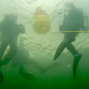
UNDERWATER ARCHAEOLOGY
MARITIME HISTORY
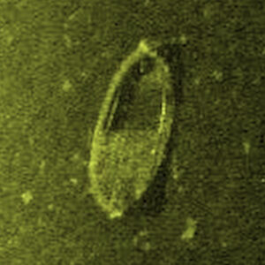
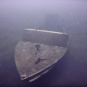
SONAR SURVEY
WRECK DOCUMENTATION
Contact
EMAIL: mhm@maritimeheritagemn.org
PHONE: 612.226.6810
MAIL: 1214 St Paul Avenue, St Paul, MN 55116-2707
About Us
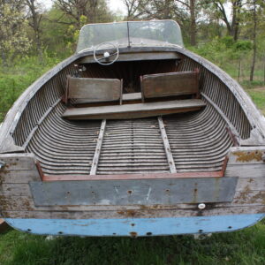
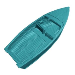
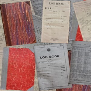
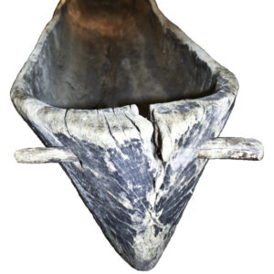
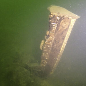
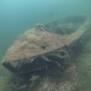
Maritime Heritage Minnesota conducts side and down-imaging sonar surveys of our State’s lakes and rivers to identify human-made anomalies. MHM then uses SCUBA and Underwater Archaeological methods to document and analyze wrecks and other maritime sites, now including photogrammetry. Minnesota Archaeological Site Numbers are assigned to sites that qualify for that status. MHM also documents and produces 3D models of rare Minnesota watercraft – including dugout canoes – and uses digitization of log books, photographs, and boat brochures as a Maritime Historical research tool. MHM also specializes in Nautical, Maritime Terrestrial, and Dry Nautical Archaeology.
STAFF
Maritime Heritage Minnesota employs the only Underwater Archaeologists working in our State, licensed by the Office of the State Archaeologist.
BOARD OF TRUSTEES
Maritime Heritage Minnesota has a small and ethical Board of Trustees that understand and support our Mission.
VOLUNTEERS
Maritime Heritage Minnesota has a talented and ethical group of Volunteers that use SCUBA, video, and photography to support our Mission.